New AI Tool Finds Location of Any Photo in Just 3 Minutes
A groundbreaking AI-powered tool can now determine the exact geographic location of any digital photo in under three minutes—even without GPS metadata. Revolutionizing investigative journalism and digital forensics.

New AI Tool Finds Location of Any Photo in Just 3 Minutes
summarize3-Point Summary
- 1A groundbreaking AI-powered tool can now determine the exact geographic location of any digital photo in under three minutes—even without GPS metadata. Revolutionizing investigative journalism and digital forensics.
- 2The new AI-powered tool that can locate any photo in just three minutes is transforming the landscape of digital investigation and journalism.
- 3By combining advanced machine learning with visual recognition and geospatial databases, this technology identifies locations even when GPS metadata has been stripped or altered.
psychology_altWhy It Matters
- check_circleThis update has direct impact on the Yapay Zeka topic cluster.
- check_circleThis topic remains relevant for short-term AI monitoring.
- check_circleEstimated reading time is 2 minutes for a quick decision-ready brief.
The new AI-powered tool that can locate any photo in just three minutes is transforming the landscape of digital investigation and journalism. By combining advanced machine learning with visual recognition and geospatial databases, this technology identifies locations even when GPS metadata has been stripped or altered. It doesn’t merely read EXIF data—it analyzes shadows, architectural details, vegetation patterns, and street signage to pinpoint a photo’s origin with remarkable accuracy.
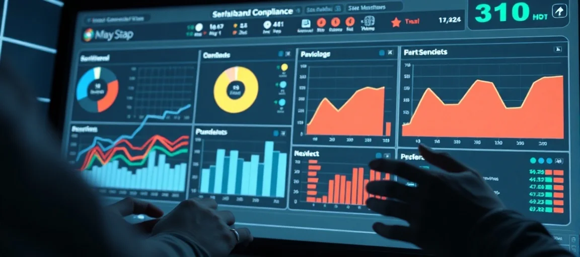
AI and Visual Recognition: The New Standard in Geolocation
As of 2026, this system integrates with Google Earth, Bing Maps, and OpenStreetMap to cross-reference visual elements in photos against billions of geotagged satellite and street-level images. For instance, the angle of a shadow, the unique curvature of a rooftop, or the type of streetlamp can be matched to specific geographic coordinates. Even photos taken in remote areas or during nighttime are analyzed using solar position algorithms and seasonal vegetation models to estimate time and place.
Applications: From Journalism to Justice
- Investigative journalists now verify the authenticity of warzone imagery from Ukraine, Gaza, and Sudan with unprecedented speed.
- Law enforcement agencies use the tool to trace suspects’ social media photos back to exact locations, aiding criminal investigations.
- Social media platforms are integrating this technology to flag manipulated or falsely geotagged content.
During the Russia-Ukraine conflict, this tool played a pivotal role in debunking disinformation campaigns by proving that certain ‘frontline’ photos were actually taken in controlled environments thousands of kilometers away. The system doesn’t just identify location—it estimates the date and time of capture by analyzing lighting conditions and seasonal changes.
The free version allows users to upload a photo and receive a location estimate within three minutes. The premium tier offers high-resolution analysis, temporal comparison across years, and API access for newsrooms and forensic labs. While the technology enhances transparency and accountability, it also raises urgent privacy concerns. In the near future, digital photos may require a verifiable ‘geolocation certificate’ to be considered credible.