L4 Autonomous Driving 2026: GAC's Lidar Tech Cuts Cost to 115,800 RMB with 200 TOPS
Guangzhou Automobile Group’s Waymo-derived L4 algorithm, paired with full-system LiDAR, is now available at an unprecedented price point of 115,800 RMB—just 200 TOPS of compute power. This marks a seismic shift in autonomous driving accessibility.

L4 Autonomous Driving 2026: GAC's Lidar Tech Cuts Cost to 115,800 RMB with 200 TOPS
summarize3-Point Summary
- 1Guangzhou Automobile Group’s Waymo-derived L4 algorithm, paired with full-system LiDAR, is now available at an unprecedented price point of 115,800 RMB—just 200 TOPS of compute power. This marks a seismic shift in autonomous driving accessibility.
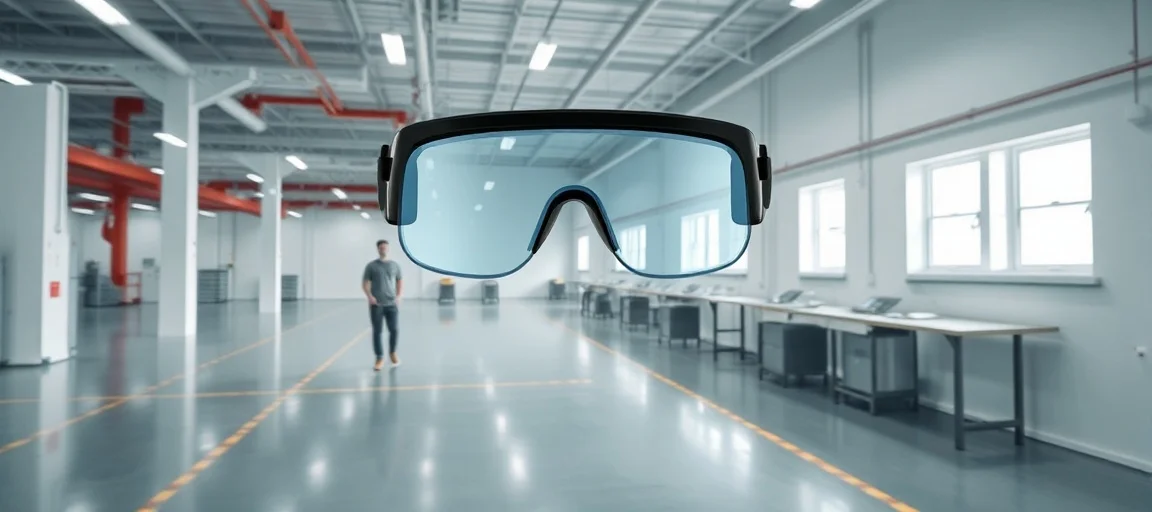
- 2Lidar-Based L4 Autonomy at Scale: GAC's Breakthrough in Autonomous Driving 2026 Guangzhou Automobile Group (GAC) has disrupted the autonomous vehicle market in 2026 by deploying a full-system LiDAR suite powered by proprietary L4-grade algorithms at just 115,800 RMB.
- 3This breakthrough in lidar-based autonomy makes high-level self-driving more accessible than ever.
psychology_altWhy It Matters
- check_circleThis update has direct impact on the Robotik ve Otonom Sistemler topic cluster.
- check_circleThis topic remains relevant for short-term AI monitoring.
- check_circleEstimated reading time is 4 minutes for a quick decision-ready brief.
Lidar-Based L4 Autonomy at Scale: GAC's Breakthrough in Autonomous Driving 2026
Guangzhou Automobile Group (GAC) has disrupted the autonomous vehicle market in 2026 by deploying a full-system LiDAR suite powered by proprietary L4-grade algorithms at just 115,800 RMB. This breakthrough in lidar-based autonomy makes high-level self-driving more accessible than ever. Unlike competitors requiring expensive compute stacks exceeding 1,000 TOPS, GAC's system operates efficiently on only 200 TOPS, leveraging algorithmic optimization over raw hardware power.
How GAC Achieves L4 Autonomy on 200 TOPS
GAC's urban NOA (Navigate on Autopilot) system represents a paradigm shift in cost-optimized edge AI for automotive applications. The company's real-time perception stack demonstrates that algorithmic maturity can compensate for hardware limitations.
Sensor Fusion and Edge AI Architecture
GAC's architecture mirrors open-source principles in AI: lean, modular, and transferable. The L4 algorithm is developed independently but achieves performance comparable to leading systems, retrained specifically on urban Chinese traffic patterns and optimized for edge deployment.
Computational Efficiency Breakthrough
This enables real-time object detection, lane tracking, and dynamic path planning on a 200 TOPS chip—equivalent to a high-end smartphone processor, not a data center GPU. Industry analysts note this move pressures competitors to rethink their cost structures.
Why LiDAR Is Critical for Urban NOA Performance
The LiDAR sensors underpinning GAC's system trace their lineage to decades of government-funded remote sensing. Data from NOAA's 2006 FEMA LiDAR survey demonstrates the foundational precision now being miniaturized for automotive use.
From Coastal Mapping to City Streets
The 2020 USACE NCMP Topobathy LiDAR data from Oregon, collected via CZMIL systems, showcases the evolution of dual-band LiDAR into compact, high-resolution arrays. These public datasets, once used for coastal mapping and flood modeling, now inform the environmental perception models powering GAC's urban navigation.
Adaptation of Survey Technology
While early LiDAR systems like the Leica ALS60 operated at 200 kHz pulse rates for aerial topography, GAC's automotive LiDAR units have adapted similar physics into smaller, lower-power form factors. The key innovation lies in algorithmic efficiency and sensor fusion capabilities.
Regulatory Approval and Real-World Performance 2026
Regulatory bodies in China have fast-tracked certification for GAC's system, citing its reliability in dense urban environments. Early 2026 deployments in Guangzhou and Shenzhen have recorded impressive safety metrics.
Superior Performance in Challenging Conditions
The system's ability to function in heavy rain, low-light conditions, and complex intersections stems from its LiDAR redundancy and deep-learning calibration against decades of topographic survey data. This sensor fusion approach provides advantages over vision-only systems.
Cost Reduction Through Intelligent Design
As the automotive industry races toward full autonomy, GAC's strategy offers a compelling alternative: intelligence, not horsepower. By leveraging publicly funded geospatial research and refining L4 algorithms for edge efficiency, they've turned a premium capability into a mass-market feature available in 2026.
Lidar-based L4 autonomy at scale is no longer a futuristic promise—it's now a 115,800 RMB reality for 2026. This represents more than just a price drop; it's a fundamental shift in how autonomous vehicle technology can be deployed through smart sensor fusion and edge AI optimization.